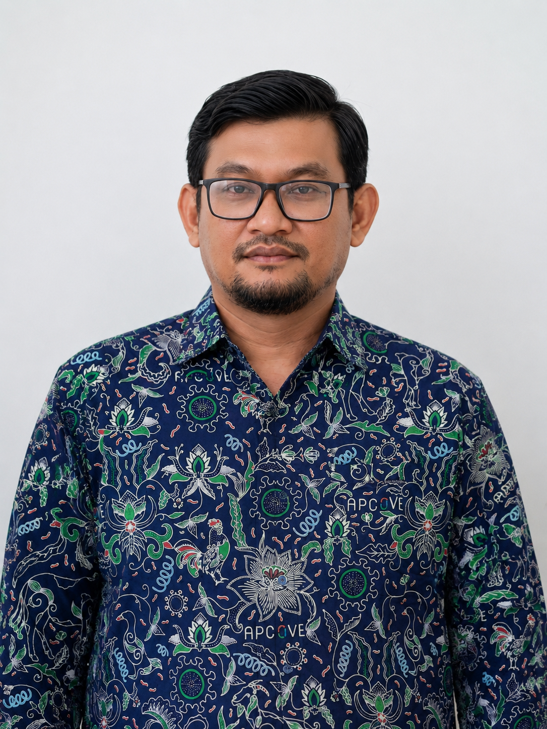
Veterinary Officer combining animal health services, spatial epidemiology, and AI agent workflows for data-driven public sector innovation
Menempuh Sarjana Kedokteran Hewan dan Profesi Dokter Hewan di IPB, Magister Sains Veteriner di UGM serta bekerja di Dinas Peternakan Kabupaten Sukabumi sejak 2010.
Pernah mengikuti pelatihan di Massey University (New Zealand), University of Melbourne, Murdoch University dan Griffith University (Australia), PTC+ (Belanda) serta berbagai pelatihan analisa spasial. Mampu menggunakan ArcGIS, QGIS, bahasa pemrograman Python dan R, serta berpengalaman dengan Generative AI tools, LLMs, RAG, workflow automation, vibecoding, dan AI Agents berbasis OpenClaw dan Hermes.
ArcGIS, QGIS
Python, R
Spatial Statistics
Disease Risk Mapping
LLMs, AI Agents
OpenClaw, Hermes, RAG, Workflow Automation, Vibecoding
I build practical digital tools for animal health services in local government, turning routine field data into dashboards, automated reports, disease maps, and AI-agent workflows for faster decisions.
Digital recording for treatment, vaccination, monitoring, surveillance, medicine stock, and field documentation.
Risk mapping, WebGIS, choropleth dashboards, and spatial analysis for animal disease prevention and control.
Agentic workflows for reporting, document generation, WhatsApp/Telegram gateway, data sync, and administrative automation.
Automation for IKI-SKP, SPT, LPJ/SPJ, activity logs, and evidence-based public sector documentation.
Spatial analysis and disease risk mapping projects combining veterinary science with geospatial technology
My coding activity and open source contributions
Interested in collaboration or have questions about spatial data analysis and veterinary disease mapping? Let's chat on WhatsApp!